Fridays are quickly becoming my day of urban exploring. With no class, it is the perfect way for me to unwind from the busy week.
I think it's widely known by now that I am a big urban transportation nerd. What you may not know is that I am also a huge history buff, particularly local history. Thus, when you mix urban transportation with local history, you get a very happy guy. A day that allows me to experience both is practically heaven.
On Friday I set out with my good friend Michael to do just this: to explore Columbus and its numerous historical landmarks that give us constant reminders of how transportation used to function in the city. I think you'll find some of them interesting and surprising.
Michael and I, armed with just our legs and bus passes, headed downtown, and set off on an action packed day of discussing where we were as a city, where we are now, and where we ought to be. I recorded almost 20,000 steps!
We disembarked from the bus at the Franklin County Government headquarters downtown and set off on a stroll through the charming Brewery District en route to our first clue.
 |
| Michael in the shadows of the Leveque Tower |
Streetcars Streetcars Everywhere
Our first stop brought us right next to the Kroger just south of Downtown. Here on Beck St, we find a reminder of the first form of urban mass transit: the Streetcar.
A stroll down Beck St is truly a trip down memory lane. Lying within this brick road are, to my knowledge, the only in-tact Streetcar rails from a past Columbus.
But this singular, 500 ft or so long section of track does not come close to telling the whole story. This preserved section of track was once part of a 70 mile streetcar network, whizzing Columbus residents to wherever they needed to go (Pomerene, 1917).
 |
| Remnants of an old streetcar line on Beck St in Columbus' Brewery District |
You read that right.
70 miles. But this is not something unique to Columbus. Streetcars were literally everywhere.
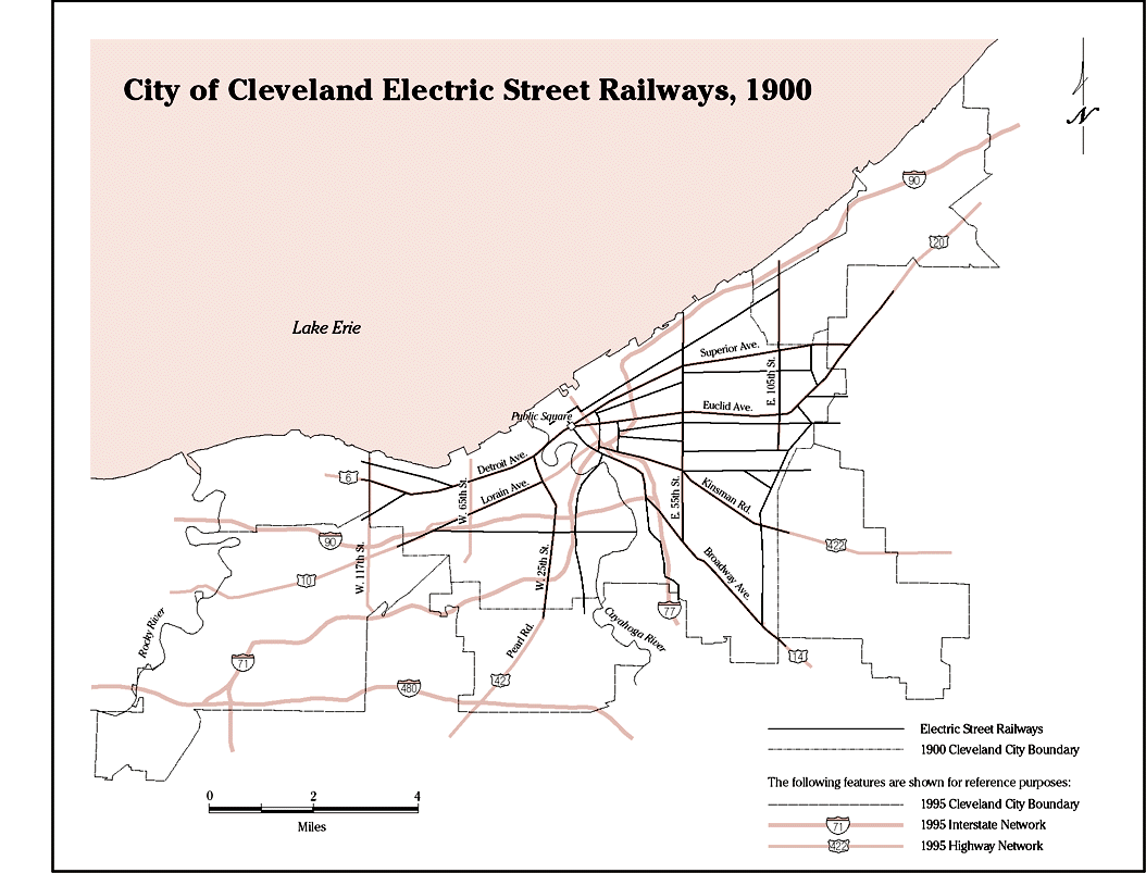
Akron (including Cuyahoga Falls) had them.
Cleveland had them. Even cities as small as
Alliance,
Youngstown, and
Niles had them. This is how people used to get around.
Cities in the 1800s were not exactly desirable places to live. They were disease ridden, with sewage and trash running through the streets. There were few parks and trees.
There were no cars in the 1880s when streetcars sprang up all across the country. These newly expanded transit lines allowed people to tap into undeveloped land and escape the harsh conditions of urban living. In was very common for the streetcar business to be adjunct to the land development business, with owners of the new streetcar lines selling off the land next to their tracks to be developed into apartments, stores, and houses. This scheme proved to be massively profitable (Hayden, 2004). The "Streetcar Suburb" was born. Strangely enough, the University District is a streetcar suburb, despite it not being "suburban" by modern standards.
The development pattern, at least by modern standards, was quite dense, because the extent to which development could occur was limited. Since people relied almost exclusively on streetcars and their own two feet to get around, land development was limited to the area surrounding these streetcar lines that was within reasonable walking distance of them. What resulted was linear, dense, mixed use development (Hayden, 2004).
Fun fact- it was also extremely common for amusement parks to be located at the end of streetcar lines. This was largely because ridership was low on weekends, so the streetcar companies built amusement parks to attract off-peak ridership. Coney Island in New York City is a prime example (Hayden, 2004). Another is Olentangy Park, an amusement park that once stood at the intersection of High and Arcadia here in Columbus, roughly where the Giant Eagle now stands (Kern, 1963).
 |
| Olentangy Park Aerial View (1919), photo courtesy of The Columbus Metropolitan Library Image Collections |
The arches in the Arch City aren't just for show
Columbus is known as the Arch City. If you have spent time in the swanky Short North district, this nickname probably makes sense to you. In the Short North, there are a series of lighted arches spanning across High Street, and certainly contribute heavily to the character of the neighborhood. While these arches are certainly cool to look at, especially at night, they are actually replicas of the original arches which served a different, non aesthetic purpose.
These arches were used to carry the power lines needed to deliver electricity to the streetcars on High Street. Sometimes when you go into one of the Short North's grossly overpriced restaurants, you'll see old photographs of the arches serving this purpose exactly. I think Arch City Tavern is such a location, but I can't remember for sure.
 |
| High Street, then and now. Left photo: South High Street looking north from Court House(1897), photo courtesy of The Columbus Metropolitan Library Image Collections. Right photo: personal photograph |
|
Continuing back towards High Street, Michael and I discovered the old South High Street car barn. This building was used to house many of the streetcars when they were not out transporting passengers. Today, it is an events venue, but the name of the building, "High Line Car House", makes it very clear what its original purpose was.
 |
| The old High Street car barn, now an events center. Located just south of Downtown near Beck St. |
After a stop for coffee in historic German Village and a stroll through the snowy Schiller Park, we wandered back north to Downtown for a stop at the Ohio Statehouse, taking note of the beautiful old architecture springing from the late 1800s to early 1900s along the way. We attempted to visit the observation deck at the Rhodes State Office Building, but quickly discovered it has not been open to the public for 3 years. Whoops.
As a side note, I don't understand why so many things in Ohio are named after James A. Rhodes. Included among them are the State office building and the University of Akron's basketball arena. The former Governor of Ohio was responsible for sending the National Guard into Kent, Ohio on May 4, 1970 which famously ended in tragedy when four students were murdered. Known as the
Kent State Shootings, it caused nationwide outcry, so much so that Crosby, Stills, Nash, and Young released the song "Ohio", recounting the tragic day. The day before the shooting, Rhodes said of the protesters:
"They're worse than the Brownshirts, and the Communist element, and also the Night Riders, and the vigilantes. They're the worst type of people that we harbor in America" (Bills, Shirley; Bills, Scott L. , 1988).
Brownshirts refers to the
Sturmabteilung, the Nazi Party's original paramilitary wing in Germany, responsible for
Kristallnacht, known in English as the Night of Broken Glass. Apparently Rhodes thought these protesters were worse than the Nazis that murdered over 7 million Jews during the Holocaust. Seems like a crappy guy to worship to me.
The old National Road
Anyway, back to transportation. We continued west on Broad Street, crossing the famous Scioto Mile. Broad Street is part of US Route 40, which is better known as the old National Road. On the west side of the bridge crossing the Scioto River, an original mile marker from the National Road still stands, indicating that we were 128 miles west of Wheeling, WV. One can imagine the horse drawn carriages that used to trek down this road.
 |
| Mile marker for the old National Road |
Passenger rail in Central Ohio: It used to exist! And it thrived!
Walking into Franklinton, we reached our second urban transportation historical landmark: the old Toledo and Ohio Central Railroad Station. It is the only Columbus railroad station still standing today. William McKinley departed from this station to head to Washington, D.C to be sworn in as President (according to the historical marker).
Now home to the Columbus Firefighters Union Hall, railroad tracks still abuts this structure, offering us a glimpse into the past where passengers regularly traveled throughout the country by rail. One could arrive at this station and travel to Marysville, Bowling Green, or head all the way to Toledo, where they could then transfer and continue on to Detroit, Chicago, or wherever else they wished (Kayler, 1898).
 |
| The old Toledo and Ohio Central Railroad Station. The rightmost photo shows that the tracks still run right next to the old station |
Back in the day, you could get pretty much anywhere in Ohio on either a train or what were known as interurbans. Interurbans are something akin to commuter rail, and were for shorter distances than the formal railroads. Passengers could travel from Columbus to Westerville, Newark, Dayton, Delaware, Xenia, Dayton, Cincinnati, Akron, Dublin, Cleveland, New Philadelphia, Dover, Canton, Amish Country, Zanesville, Toledo, Killbuck (literal middle of nowhere) and practically everywhere. For my Northeast Ohio folks, interurbans used to run from Akron to Cuyahoga Falls up to Bedford, and eventually, Cleveland, along the path which is now largely occupied by the Summit Metroparks Bike and Hike trail. Interurbans ran from Cleveland to Chardon, Lorain, N. Amherst, Mentor, and countless others (Kayler, 1898; The Vane A Jones Co, 1973) . But we threw it all away.
Indeed, I outlined
here how Columbus is working on plans for potentially constructing a new train station exactly where one used to stand until the late 1970s. Pain.
Past Looking Forward
Humans love nostalgia. We love reminders of how things used to be. We love reminders of the "simpler times" (although life in the past was certainly not simple). Through Michael and I's journey today, we got a big taste of this nostalgia.
The past can inform the future of our cities. As Dolores Hayden (2004) points out, understanding "when is this place" is the key to reviving old neighborhoods. In areas where streetcars thrived and spurred mixed use development, bringing high capacity transit back might be the key.
A lot of what I desire for the world are things we already had in the past. By looking into the past, and feeling the nostalgia we feel, we get a glimpse of what life could be like today. We can and must bring back a world where people traveled by rail, streetcars, and interurbans. Indeed, it is the key to creating a sustainable future.
See More:
Sources
Bills, Shirley; Bills, Scott L. (1988), "Scott L. Bills", in Scott L. Bills (ed.), Kent State/May 4: Echoes Through a Decade, Kent, Ohio: The Kent State University Press, p. 13, ISBN 978-0-87338-360-8
Hayden, D (2004). Building suburbia: green fields and urban growth, 1820-2000. New York: Vintage Books.
Kayler, R. S. (1898) Railroad map of Ohio published by the state, prepared under the direction of commissioner of railroads and telegraphs. Columbus. [Map] Retrieved from the Library of Congress,
https://www.loc.gov/item/98688545/.
Pomerene, William R. (1917). Trams and Trolleys. Columbus, Ohio: The Champlin Press. pp. 24–25.


Comments
Post a Comment